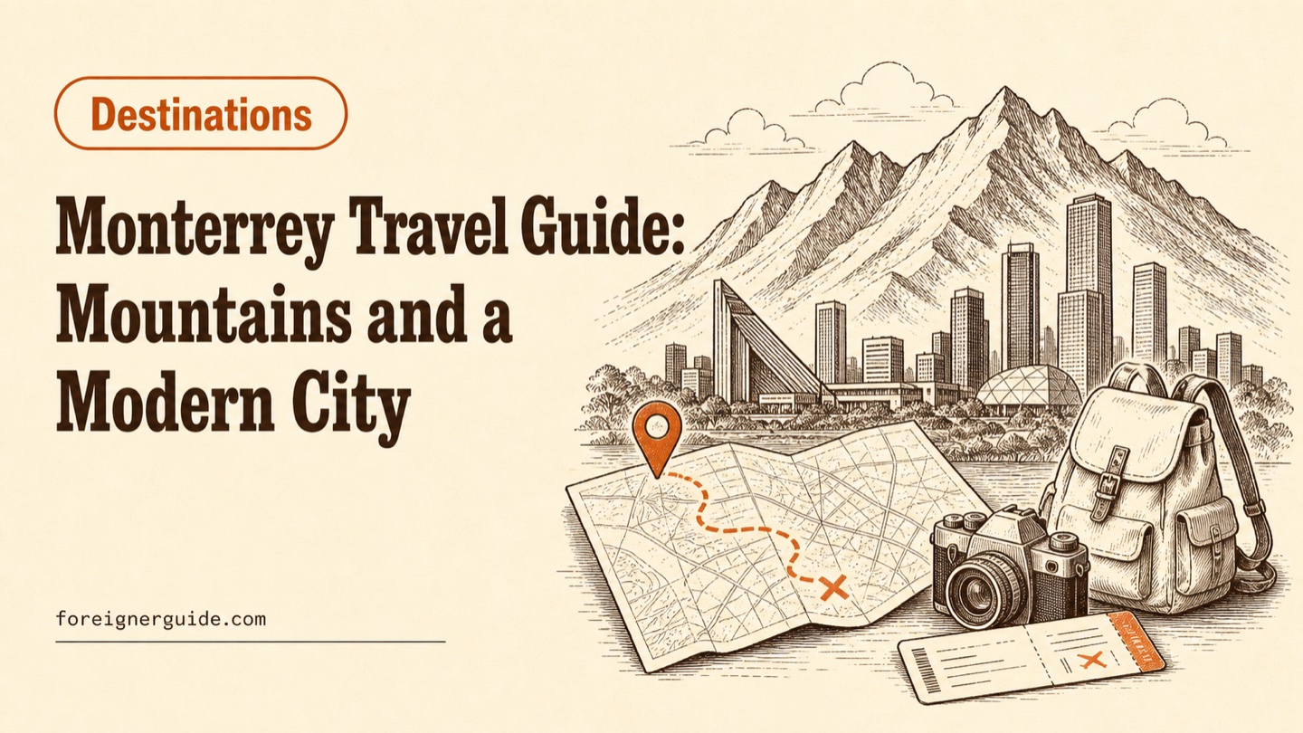
Monterrey Travel Guide: Mountains and a Modern City
Monterrey blends the Sierra Madre mountains and Cerro de la Silla with a modern downtown and a 2026 World Cup stadium. What to see, and the best time to visit.
Table of contents
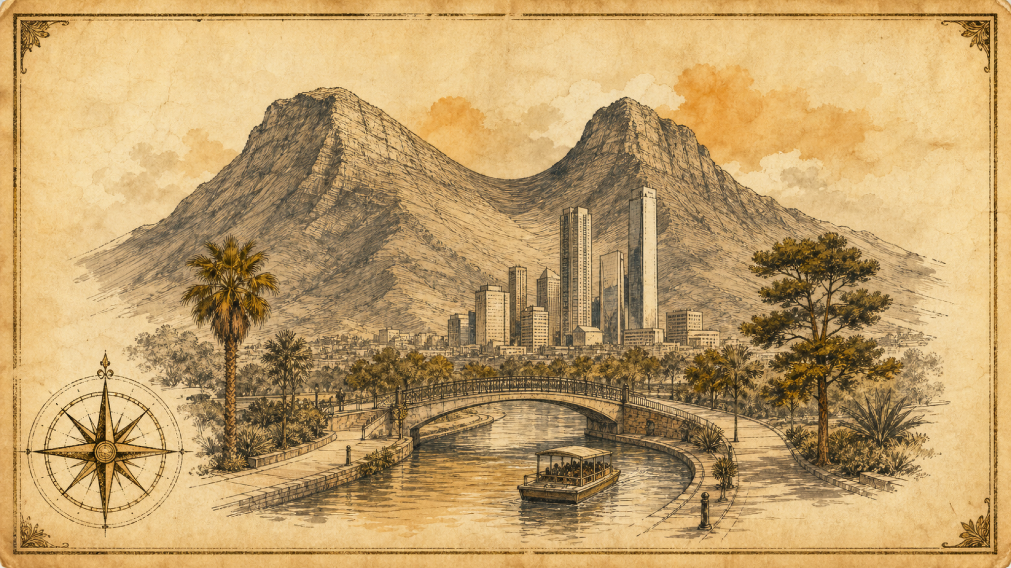
Monterrey is the capital of Nuevo León in northeastern Mexico, a business and industrial hub wrapped by the Sierra Madre Oriental. Locals call it la ciudad de las montañas, the city of the mountains, because the saddle-shaped Cerro de la Silla and the ridges of Chipinque sit right at the edge of downtown. That mix is the draw: real hiking within about half an hour of a modern city of plazas, museums, and a park built inside an old steel foundry. For most visitors the comfortable window runs from roughly October to April, because summers here are extreme.
As of mid-2026, Monterrey has a fresh reason to be on the map. FIFA lists it as a host city for the 2026 World Cup, with matches at Estadio BBVA. This guide is a general orientation for international travelers: the geography, the main sights, how to get around, and when to go. It does not cover visas or entry rules, which depend on your nationality.
Why is Monterrey called the city of the mountains?
Because peaks surround it on nearly every side. The clearest landmark is Cerro de la Silla, or Saddle Hill, which rises to about 1,770 meters and gives the skyline its notched profile. Mexico's federal government declared it a protected natural monument in 1991, and it is a common half-day climb for people who want a panorama of the valley. To the southwest, the Sierra Madre Oriental climbs into Cumbres de Monterrey National Park, one of the country's largest protected areas, managed by Mexico's federal government through gob.mx.
The city itself is Mexico's manufacturing heartland, sometimes called the Sultana del Norte. That industrial character is not a side note for travelers: it shaped the museums, the university crowd, and the food scene, and it is why so much of the historic center has been rebuilt around old factories rather than colonial cathedrals alone.
The mountains: hiking, canyons, and caves
The outdoor options range from a paved lookout drive to a full canyon trek. Parque Ecológico Chipinque, inside the national park, tops out near 2,229 meters and has marked trails such as La M and La Meseta that look back over the city. General access to Cumbres de Monterrey National Park is free, but some developed recreation areas charge an entry fee, so carry a little cash. Below is a quick comparison of the sites most travelers ask about.
| Place | What you will find | Getting there |
|---|---|---|
| Chipinque | Forest trails and city viewpoints near 2,229 m | Southwest edge of the city, by car or tour |
| Cerro de la Silla | Signature saddle peak, roughly 1,770 m | Trailheads on the city's east side |
| Cañón de la Huasteca | Dramatic dry canyon walls, climbing and biking | Santa Catarina, west of downtown |
| Grutas de García | Cave system with a cable car to the entrance | Day trip northwest, near García |
| Cola de Caballo | Horsetail waterfall in the Sierra Madre | About an hour's drive south, near Santiago |
Cola de Caballo pairs well with Santiago, a designated Pueblo Mágico (one of Mexico's officially recognized "Magic Towns" for tourism), if you want a slower day out of the city. La Huasteca is the closest wild scenery to downtown, and Grutas de García works as a family cave trip because the cable car handles the steep approach.
The modern city: Macroplaza, Santa Lucía, and Fundidora
Downtown is compact and walkable, which is unusual for a Mexican metropolis this size. The centerpiece is the Macroplaza, one of the largest public squares in the world, anchored by the Faro del Comercio, a bright orange monument roughly 70 meters tall that sweeps a laser over the city at night. From there, the Paseo Santa Lucía runs about 2.5 kilometers to Parque Fundidora. This artificial waterway was built for the 2007 Universal Forum of Cultures, and small boats make the trip if you would rather ride than walk.
Parque Fundidora is the city in miniature: a public park laid out around the preserved blast furnaces and buildings of a shut-down steelworks, now full of walking paths and event spaces. For nightlife, Barrio Antiguo packs bars, mezcalerías, and live-music venues into roughly ten blocks of old houses near the Macroplaza. Many of these sights cost nothing to enter, so if you are watching a daily budget, this is an easy city to enjoy cheaply; our guide on keeping flights, lodging, and daily costs down covers the wider framework.
When to visit, and what about the World Cup?
Aim for roughly October through April if you can choose. Summers are punishing: from April into June, afternoon highs regularly climb into the mid-40s Celsius, well over 110 Fahrenheit. Late summer brings a short rainy season, with September the wettest month and sudden afternoon thunderstorms that sometimes drop hail. October usually offers the best balance, with greener mountains and temperatures that finally ease.
The one big exception to the calendar is the tournament. FIFA lists four matches at the stadium in June 2026, three group-stage games and one Round of 32 fixture, and notes the venue will be called Estadio Monterrey during the event. You can confirm dates and ticketing on the official FIFA site. Estadio BBVA opened in 2015, seats around 51,000, and is nicknamed the Steel Giant, with an open end that frames Cerro de la Silla. If you travel for a match, plan around June heat and heavy demand, and book accommodation early.
Getting there and getting around
Most international visitors arrive through General Mariano Escobedo International Airport, code MTY, which connects to major hubs in Mexico and the United States. Before you fly, our checklist on documents, packing, and arrival timing covers the airport basics.
In the city, the Metrorrey light-rail system runs on three lines and is the fastest way to cross downtown at rush hour. Local reports on Metrorrey's 2026 fare schedule put the standard trip at around 10.5 pesos as of July 2026, with small monthly increases planned through the decade and a reduced rate for students and seniors. Two additional lines were under construction ahead of the World Cup to widen coverage toward the stadium and the airport. Beyond the metro, ride-hailing apps are common and buses fill the gaps, though a car helps for the mountain day trips where transit does not reach. Keep some pesos on hand for park fees, boat rides, and small vendors, and treat the summer heat as a real planning factor rather than an afterthought.