Vancouver Travel Guide: Where the Sea Meets Mountains
A first-timer's guide to Vancouver's sea-and-mountains geography: paying for TransLink transit, riding the Stanley Park seawall, and reaching the North Shore.
Table of contents
Vancouver fits an ocean and a mountain range into one view. You can cycle beside the water in the morning and look down from a summit by mid-afternoon, all without leaving the metro area. This guide is a first-timer's orientation to both sides of that geography: how to move around on public transit, where the seawall meets the forest, and how to reach the North Shore peaks and the Sea to Sky corridor toward Whistler. It sticks to general trip planning for a leisure visit and is not visa, insurance, or medical advice. For the driest, mildest weather, aim for June through September. As of July 2026, TransLink has revised its transit fares, so budget with current numbers rather than older guides.
Why Vancouver feels like the sea meets the mountains
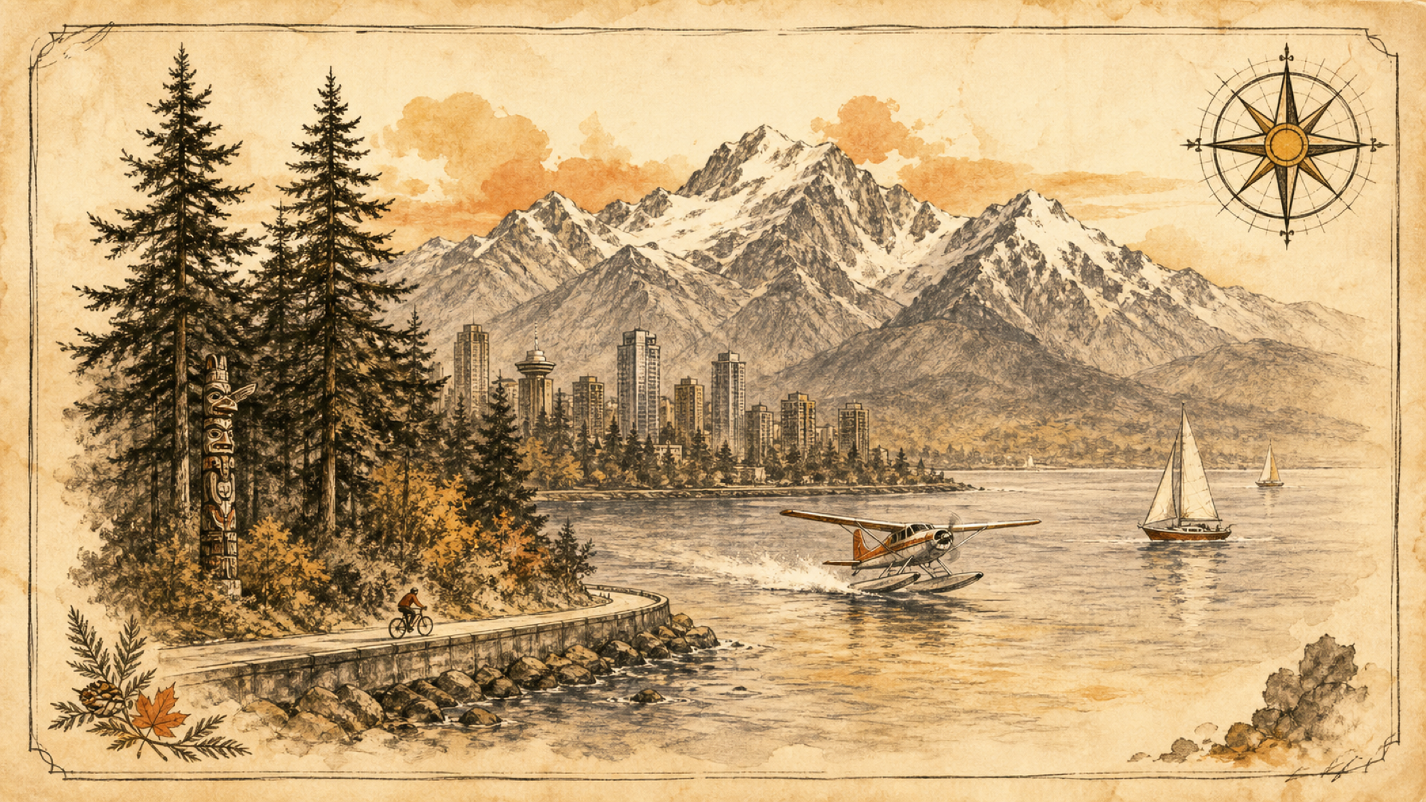
The plain reason is proximity: the water and the peaks sit right next to downtown. The city center is a peninsula wrapped by the Pacific, and the North Shore mountains rise directly across the harbour to the north. On a clear day you can stand at the waterfront and watch snow on the ridgelines above the far shore.
That closeness is what makes a single day feel varied. The City of Vancouver's seaside greenway runs about 28 kilometres along the shore, and the Stanley Park section of the seawall, roughly 9 kilometres of paved path, follows the water the whole way. You are rarely far from either a beach or a trailhead, which is the practical meaning behind the "sea to sky" phrasing on local signs.
How do you get around Vancouver?
Use public transit run by TransLink, the regional authority for buses, the SkyTrain rail lines, and the SeaBus passenger ferry. The simplest way to pay is a Compass Card, a reloadable tap card that works across all of them; TransLink charges a refundable C$6 deposit for the card itself.
Fares depend on how many zones you cross. As of July 2026, TransLink lists the adult stored-value fares below and notes that every bus trip counts as one zone at any time. One tap covers transfers across bus, SkyTrain, and SeaBus for 90 minutes.
| Trip | Adult stored-value fare (as of July 2026) |
|---|---|
| 1 zone | C$2.85 |
| 2 zones | C$4.20 |
| 3 zones | C$5.40 |
The SeaBus earns a ride on its own. The crossing between downtown's Waterfront station and Lonsdale Quay in North Vancouver is a short harbour hop, and a working ferry gives you a level view of the water with the mountains standing behind it.
Stanley Park and the seawall, where the trail follows the water
Stanley Park is the easiest place to stand between the sea and the forest at once. According to the City of Vancouver's seawall page, the Stanley Park seawall is about 9 kilometres long and cyclists must ride it counter-clockwise, so rentals and traffic all flow the same direction. Most riders finish the loop in 60 to 90 minutes with stops for photos.
You can walk it too, though the full circuit on foot is a half-day commitment. With only an hour, rent a bike near the park entrance on Denman Street and follow the water past Coal Harbour and Brockton Point; on one continuous path you will pass beaches, the Lions Gate Bridge, and old-growth trees.
How do you reach the mountains from downtown?
Two routes cover most of it. The North Shore is minutes away by SeaBus or car, and the Sea to Sky Highway heads north for the bigger scenery. The North Shore mountains, Grouse, Cypress, and Seymour, sit just across the harbour, close enough for an afternoon hike or a gondola ride.
For the grander views, drive Highway 99, the Sea to Sky Highway. Whistler sits about 120 kilometres (75 miles) north of Vancouver, roughly a two-hour drive without stops. Partway there, the operators of the Sea to Sky Gondola near Squamish run a 10-minute cable-car ride to a summit lodge over Howe Sound, where a suspension bridge crosses to viewing platforms. Their official site puts the drive from Vancouver at about 45 minutes, which makes the gondola a realistic half-day trip on its own.
When to visit and what the weather does
Summer is the safe window. Long-term climate averages make July the driest month, near 55 mm of rain, while November is the wettest at roughly 344 mm. August daytime highs run near 22°C (72°F), comfortable for both the seawall and the mountains. From late autumn into winter, rain in the city usually means fresh snow on the peaks, which is welcome if you came to ski and less so if you wanted a dry seawall.
Pacific weather cycles can nudge a whole season wetter or drier, so it helps to check the pattern before you commit; we explain how those cycles work in our look at how La Niña affects travel weather. Pack a rain shell in any month, because the coast can turn on you.
A few practical notes before you go
If you fly in, TransLink adds a YVR AddFare when you tap out of the airport SkyTrain station; the authority set that surcharge at C$6.50 as of July 2026, on top of the normal fare. Buying a Compass Card at the airport also skips the ticket-machine queue later.
Prices at attractions and gondolas shift with the season, so confirm current rates on each operator's official site rather than trusting a screenshot. And because a trip that mixes ferries, mountain roads, and hikes has more moving parts than a plain city break, it is worth reading our guide to travel insurance coverage and the gaps to check before you leave home.